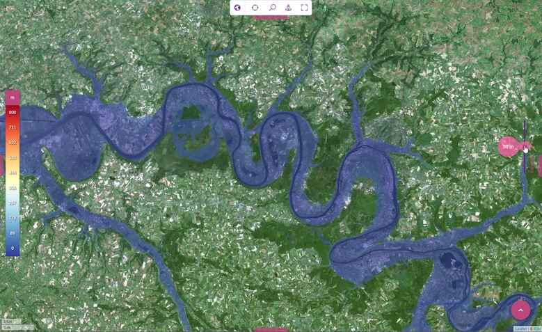
Cartographic backgrounds based on OpenStreetMap data
Posted on July 13, 2023Jul 28, 2021
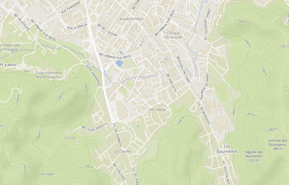
As an Open Source and Open Data player in the field of geographic data, Kalisio offers cartographic backgrounds based on OpenStreetMap data. Nevertheless, the OpenStreetMap Foundation remains a non-profit organization with limited resources. It is therefore not possible to use the openstreetmap.org tile servers at will. … Des fonds cartographiques basés sur les données OpenStreetMap
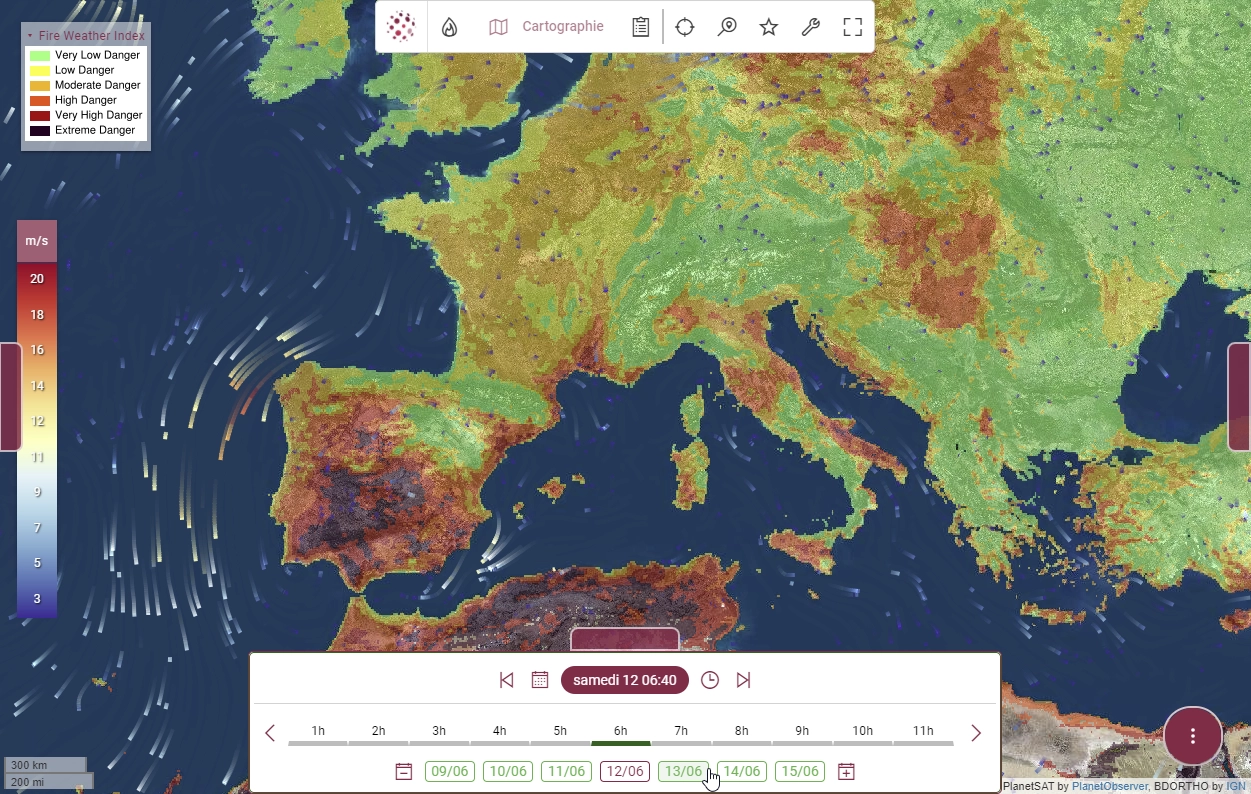
Cartographic backgrounds based on OpenStreetMap data
As anOpen Source andOpen Data player in the field of geographic data, Kalisio offers cartographic backgrounds based on OpenStreetMap data.Nevertheless, OpenStreetMap remains a non-profit organization with limited resources. It is therefore not possible to use the openstreetmap.org tile servers : at will policy on the use of tiles):
OpenStreetMap data is free for everyone to use. Our tile servers are not.
Until now, we used a third-party supplier to provide us with optimized data (i.e. tiles). They were ready to use and hosted on our servers, or those of our customers. Today, we're delighted to be able to generate your own tiles from the OpenStreetMap database in full autonomy. And it's all thanks to the fabulous ecosystem help to contribute to:
kaabah for automated deployment of computing infrastructures,
krawler for the orchestration of computational tasks,
openmaptiles for importing the OpenStreetMap database and generating tiles,
kargo for making tiles available via various standard OGC protocols.
A project that might seem trivial in 2021, but it's not. No less than 256 processors and several days of calculations required to produce this 90-gigabyte data set ! This represents :
508 million buildings
602 million transport-related entities (roads, railroads, etc.),
80 million points of interest (public facilities, tourism, stores, etc.),
113 million administrative entities (countries, states, regions, cities).
Nothing revolutionary or that doesn't already exist (e.g. Google Maps), but this is also what digitalsovereigntyis all about: know-how that enables independence and resilience.
Read a press article about our Akt’n’Map solution in a feature dedicated to fire risk, and take a look at our videos:
The first illustrates the use of EFFIS services from the COPERNICUS program to obtain fire risk forecasts for the coming days,
The seconde illustrates the coupling with weather forecasts from Météo France (ARPEGE model) to better anticipate future dangerous situations.
Akt’n’Map referenced in the GouvTech catalog!
Posted on July 13, 2023Jun 30, 2021
Our solution Akt’n’Map is referenced in the GouvTech catalogue of the Interministerial Digital Directorate (DINUM). Its objective is to promote the use of digital tools that can be useful to public services, so we are identified as a solution provider for ministries and local authorities.
To provide the best experiences, we use technologies such as cookies to store and/or access device information. Consenting to these technologies will allow us to process data such as browsing behavior or unique IDs on this site. Failure to consent or withdrawal of consent may adversely affect certain features and functions.
Functional
Always active
Technical access or storage is strictly necessary for the legitimate purpose of enabling the use of a specific service explicitly requested by the subscriber or user, or for the sole purpose of transmitting a communication over an electronic communications network.
Préférences
L’accès ou le stockage technique est nécessaire dans la finalité d’intérêt légitime de stocker des préférences qui ne sont pas demandées par l’abonné ou l’internaute.
Statistiques
Le stockage ou l’accès technique qui est utilisé exclusivement à des fins statistiques.Le stockage ou l’accès technique qui est utilisé exclusivement dans des finalités statistiques anonymes. En l’absence d’une assignation à comparaître, d’une conformité volontaire de la part de votre fournisseur d’accès à internet ou d’enregistrements supplémentaires provenant d’une tierce partie, les informations stockées ou extraites à cette seule fin ne peuvent généralement pas être utilisées pour vous identifier.
Marketing
Technical access or storage is necessary to create user profiles in order to send advertisements, or to track the user on a website or on several websites with similar marketing purposes.