Kano is getting a makeover! We just released a new version based on an update to our SDK, here are the main new features: Some of these new features will soon be integrated into Akt’n’Map and more!
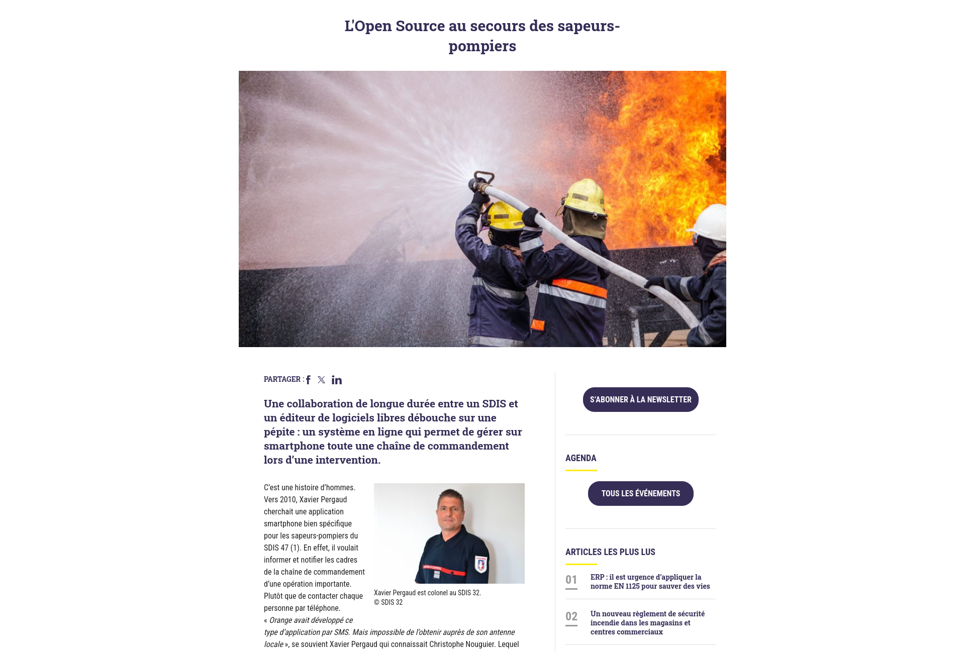
“A long-term collaboration between a SDIS and a free software publisher has resulted in a gem: an online system that allows you to manage an entire chain of command on a smartphone during an intervention.” Discover this press article that talks about our Akt’n’Map solution...

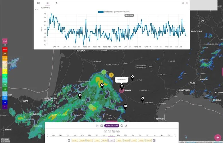
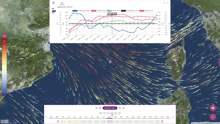
SESUC (IRSN) has selected Kalisio to provide software maintenance for the C3X platform's mapping and weather services. The Technical Crisis Center mainly uses this platform but also as part of studies conducted by SESUC. The geospatial services are based on all the Krawler, Weacast, Kargo and Kano solutions developed by Kalisio... … L’IRSN retient Kalisio pour assurer la maintenance de C3X