Maps based on OpenStreetMap data
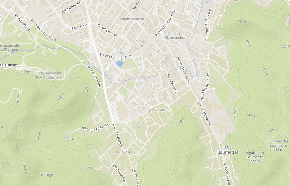
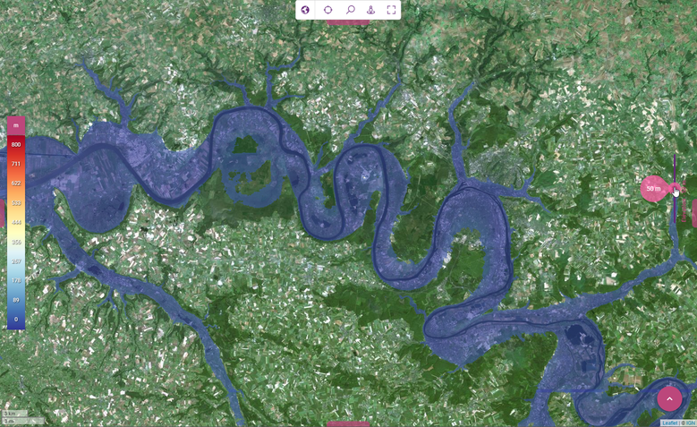
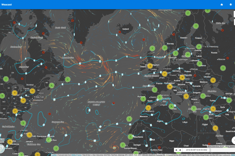
As an Open Source and Open Data player, Kalisio offers maps based on OpenStreetMap data. However, because the OpenStreetMap Foundation is a non-profit organization with limited resources, you simply cannot use the openstreetmap.org tile servers as you wish (see Tile Usage Policy ):
OpenStreetMap data is free for everyone to use. Our tile servers are not.
Until now, we have therefore used a third-party provider to get ready to use optimized data (ie tiles) hosted on our servers, or those of our customers. Today, we are happy to be able to generate our own tiles from the OpenStreetMap database in total autonomy, in particular thanks to the fabulous ecosystem that we are helping to enrich:
- kaabah for the automated provisioning of computing infrastructures,
- krawler for the orchestration of computational tasks,
- openmaptiles for importing the OpenStreetMap database and generating tiles,
- tippecanoe for the aggregation of tiles,
- kargo for the provision of tiles via various standard OGC protocols.
A work that could seem trivial in 2021 but which is not, however. It required not less than 256 CPUs and several days of calculation to produce this 90 gigabytes dataset, which some statistics will illustrate:
- 508 million buildings,
- 602 million transport-related entities (roads, railways, etc.),
- 80 million points of interest (public facilities, tourism, shops, etc.),
- 113 million administrative entities (countries, states, regions, cities).
Nothing new or revolutionary (eg Google Maps), but this is a step toward digital sovereignty, a know-how allowing independence and resilience.
Visualise the result in Kano.


