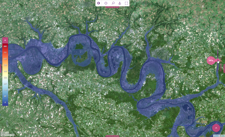
Kalisio has started R&D activities on flood risk
Visualise the area lower than a given elevation level in real-time is now possible (watch the video) ! Combining this with real time hydrometric data would allow to identify zones at risk in a given area. Now, combine this with a predictive model and we could identify it hours ahead.
We have launched R&D activities in all of these directions, if you own precise elevation data or hydrometric data in your region and would like to join our effort, contact us.